GEOSPATIAL TECHNOLOGIES (GST)
Today, there is no doubt that massive data analysis is fundamental to achieve the success of a company. Strong competition, changing market conditions, technological revolution, globalisation, environmental pressure etc., make today nothing like yesterday, and data analysis is a daily necessity.
But it is not enough to have data; we must have the knowledge and the means to give value to this data – on one hand, converting them into useful information, and on the other, making this information available to decision-makers. This is only possible if a system is established to ensure an adequate flow from data to decision making.
Geospatial Technologies
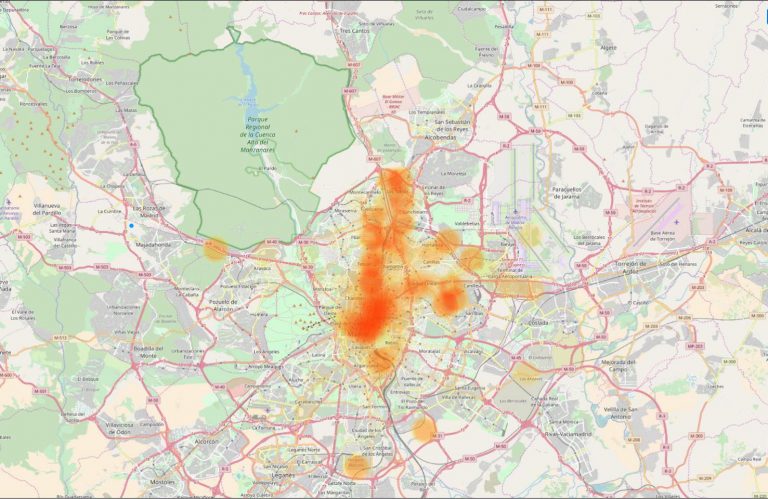
In recent years the generation and availability of geographic data has increased exponentially; this has not only opened up new fields of application but also the possibility that this information can be used by any company.
Xcalibur is able to provide its customers with both point solutions and integrated solutions. Point solutions include the provision of specific data or the analysis of a specific situation. Integrated solutions include the design, development, implementation, and operation of complete systems, which incorporate everything from the capture of initial data to the day-to-day operation. An example of this is the product mineWatch, currently used in several mining operations.
Xcalibur is recognised for its extensive experience in data capture using earth observation (remote sensing) and other similar tools, as well as its intensive, advanced, and innovative handling of geographic information systems (GIS).
Although Xcalibur handles a transversal technology, it specializes in its application in sectors such as: Mining and Geology; Energy; Environment; Logistics and Distribution; and Public Sector.

Remote Sensing
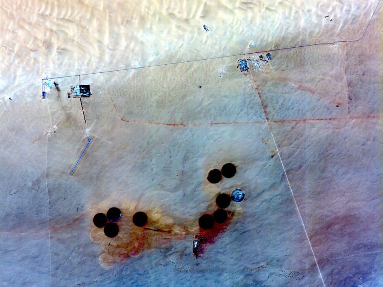
The spatial revolution of the last years has resulted in the exponential growth of satellite image availability, offering products ranging from coverage of the entire planet to finely detailed images allowing a farmer to decide where to irrigate in his plantation.
Fields of satellite imagery application are very broad, but Xcalibur specializes in its use in the world of natural resources.
Within this field, mineral, oil, and gas resources play a key role, and satellite imagery is a complementary source of information to airborne geophysics.
Xcalibur uses satellite images, both in the visible and radar range with mono and stereo vision to extract lithological and structural geological information, ranging in scale from 1:1,000,000 to 1:10,000 and even more detailed.
Satellite images also play a fundamental role in obtaining detailed information of mining targets located by aero geophysical techniques, essential for planning effective and efficient field work.
On the other hand, satellite images provide complementary information to the geological work, including information for logistics, environment, socioeconomics etc., which benefit exploration and even subsequent engineering projects.
Xcalibur also uses satellite imagery to monitor mining operations, where radar interferometry techniques play a fundamental role. These techniques make it possible to obtain information on subsidence, slope slides, etc., which is essential for the geotechnical monitoring of mining operations.
