Airborne Magnetics and Radiometrics (MagRad)

Airborne Magnetics and Radiometrics
Xcalibur Smart Mapping is a global leader in the industry, offering market-leading technology. We provide high-resolution magnetic and radiometric surveys for your exploration goals and to support regional geological mapping. Xcalibur offers comprehensive solutions for mineral exploration, environmental assessments, and Oil & Gas projects.
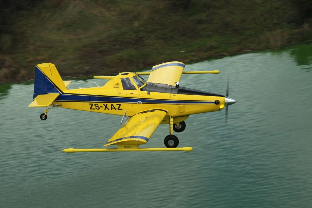
Fixed Wing
Airborne magnetic surveys are a quick and cost-effective method of measuring the strength of the Earth’s magnetic field. Deposits with magnetic minerals (iron deposits, pyrrhotite-bearing nickel deposits, and skarns) can be detected and it is also an aid to geological mapping.
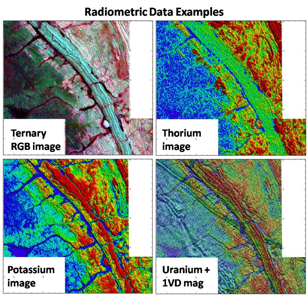
Gamma-rays (of different energies) are emitted during the decay of some naturally occurring elements in the Earth.
The most diagnostically useful of these for geological mapping correspond to potassium (1.46 MeV), bismuth-214 (1.765 MeV) from the uranium-238 decay series, and thallium-232 (2.614 MeV) from the thorium-232 decay series. The instrument used to record these gamma-rays is the gamma-ray spectrometer, which may be calibrated to selectively record ‘windows’ corresponding to the energy levels of interest.
These surveys are typically flown with our customized, robust, low-flying, and safe Air Tractor magnetic gradiometer systems for maximum efficiency, endurance, and top-of-the-range ultra-high-resolution geophysical data.
Since the spatial resolution and signal-to-noise ratios improve dramatically when flying height is reduced, low-level data provides significantly more detailed information for kimberlite detection, base and precious metal exploration, litho-structural and geo-hydrological mapping, and mine planning or sterilization mapping.
Survey height is generally only limited by the height of the vegetation and the presence of man-made features such as power lines, buildings, and antennae.
We believe that it is better to fly regional surveys with top quality high-resolution sensors at a relatively low flying height in order to get the best possible quality profile data that can easily be upward continued or filtered to produce smooth regional grids while allowing subsequent higher-resolution fill-in work between flown lines at the lower altitude to save costs.
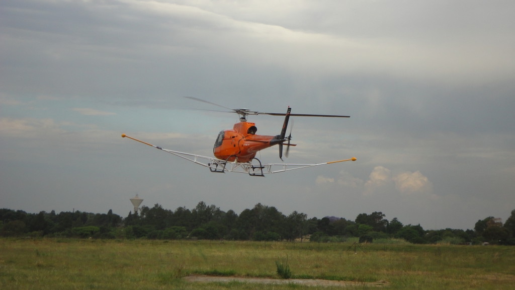
Helicopter
Xcalibur understands the need for helicopter applications in specific areas. As magnetic anomalies decay exponentially with distance from the source, low survey height is a key component to data quality and encourages the use of helicopter platforms and state-of-the-art geophysical systems aimed at acquiring ultra-high resolution magnetic and radiometric data in rugged terrains.
The systems are installed on a helicopter (Eurocopter AS350 B2 & B3) and consist of boom-tip mounted magnetometers and radiometric crystal packs. The selected platforms have undergone stringent individual tests to ensure clean magnetic data and where appropriate demagnetization has been carried out.
XMAG
High resolution & low altitude fixed wing